

The Cuvette Centrale is a region of forests and wetlands in the Democratic Republic of the Congo. Different definitions consider the region to extend into the Republic of the Congo as well. The Cuvette Centrale lies in the center of the Congo Basin, and is bounded on the west, north, and east by the arc of the Congo River.
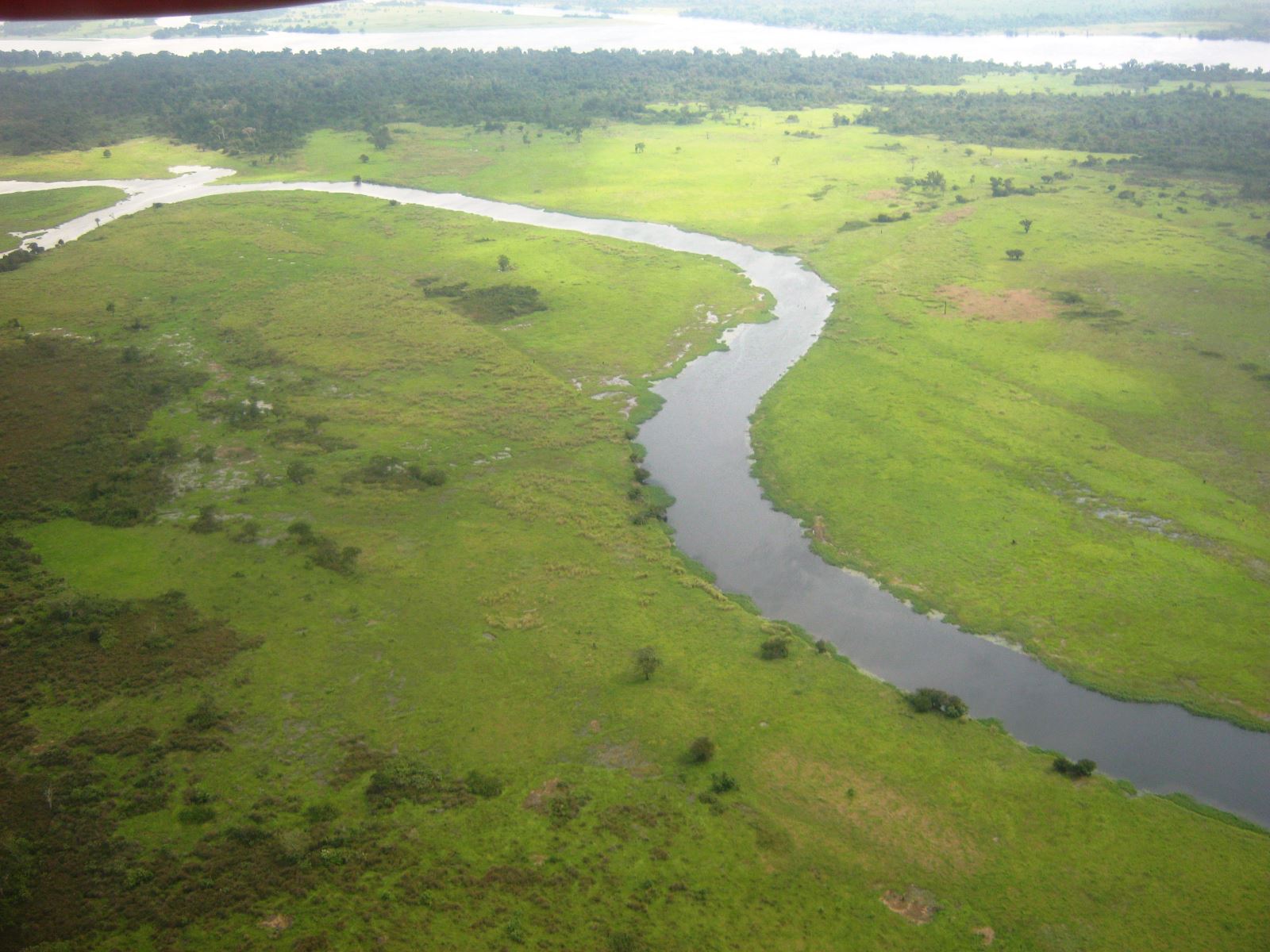
A lake covered the region during the Pliocene epoch, which was gradually filled with sediments, and the surface of the basin is very flat. Slow-moving tributaries of the Congo, including the Lopori, Maringa, Ikelemba, Tshuapa, Lomela, and Lokoro, drain westwards.
The region lies on the Equator, and the climate is tropical and humid, and rainfall averages 2,000 mm annually. The Eastern Congolian swamp forests extend along the Congo River and its chief tributaries, and cover wide areas in the western portion of the Cuvette Centrale.

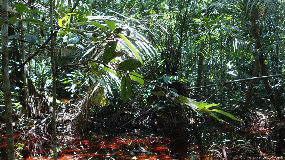
These swamp forests are seasonally or permanently flooded. The Central Congolian lowland forests extend across the remaining portion of the region. The swamp forests are home to endangered species of megafauna, including lowland gorillas and forest elephants.
The region contains peat and is one of the world's biggest stocks of soil carbon. The peat layer has a median depth of 2 m and contains an estimated 30 petagrams of carbon below ground, comparable to the above ground carbon stock in the forests of the Congo Basin. If a third of this peat were to burn, atmospheric concentration of carbon dioxide would double, and the earth's atmosphere would warm by 5 degrees F.
According to en.wikipedia


